
Walk a Cave Spring Street by Address
Cave Spring is an unincorporated Roanoke County community, so the address trail belongs in county systems even when a mailing label says Roanoke. Salem is the county seat, while the county administrative center is in Cave Spring. A street directory search begins with a situs address, the physical location on a parcel, and builds outward from there. The county property record is the best opening record for land identity, not a claim that every named owner currently lives at that address.
- Enter the street name and number in Roanoke County WebPro. To inspect a whole street, leave owner blank, enter the street name, and narrow by number only after reviewing the first results.
- Save the parcel ID, situs, visible owner, sale reference, and inspection date. Use the parcel ID to avoid mixing similar street names or a route label with the wrong property.
- Open the same address in County GIS Services. Click the parcel, enable pop-ups if needed, and inspect nearby parcel shapes before treating a map label as a household record.
- Use the parcel, address, or owner in Roanoke County VoterView for polling-place and district information. It is an address tool, not a map of every voter on the street.
- For an ownership date, move to the Circuit Clerk land-record route. A deed can connect a buyer, seller, parcel, and legal description, while historical directories can add a dated household clue.
Keep each result separate. A current assessment card, recorded deed, voter record, and printed directory serve different dates and roles. A street-by-street worksheet that preserves the source and date is more reliable than a copied list of names.
Search Cave Spring Streets in WebPro
WebPro is Roanoke County's free assessment search. It accepts an owner, parcel, street name, street number, sale details, book and page, building type, year built, beds, baths, size, neighborhood code, land-use code, and value ranges. The county notes that a last name alone is often the easiest owner search. For a street directory task, the street name and number fields are the direct route, while a parcel number is the better fallback for an old or inconsistent address.
| WebPro field | How it is entered | Street-directory use |
|---|---|---|
| Parcel | County tax-map text | Returns one durable parcel when street wording changes. |
| Owner | Prefix-style name search | Lets a recorded owner be checked against a known address. |
| Street name and number | Separate text fields | Finds a location or a manageable street segment. |
| Book + Page | Two text entries | Connects an assessment result to a deed reference. |
| Sale date or price | Optional ranges | Narrows a street result around a transfer period. |
| Neighborhood or LUC code | Text or popup | Filters assessment categories, not civic-association membership. |
Result headings sort by parcel ID, location, owner, built/type, value, sale data, and book/page. Open a parcel ID rather than relying on the list row. The county warns that information from different sources may arrive at different times and should be confirmed with the office when accuracy matters.
A visible WebPro list can include parcel ID, location, owner, year built, property type, total value, beds and baths, lot or finished area, land-use code, neighborhood, sale date or price, and a book/page reference. Some detail fields, including linked documents, mailing information, exemptions, sketches, or images, may not appear in every list result. Open the actual parcel card and preserve only the fields that card displays. WebPro neighborhood code H047, for example, is an assessment code, not proof of a civic-association boundary.
Cave Spring Street Directory Terms
Address records use a few terms that matter most when a printed street name no longer matches the current map. The tax-map number can bridge those changes without guessing at a renumbering. No authoritative Cave Spring-wide renumbering year was located, so a parcel and legal description are safer than an assumed conversion.
- Parcel
- A county tax-map unit of land. Its identifier is more durable than a street number and commonly follows the county's segmented tax-map format.
- Situs address
- The physical location of the parcel. GIS and address searches use it to place land on a street.
- Plat
- A recorded map that can show lots, blocks, subdivision lines, access, easements, and boundaries.
- Criss-cross directory
- A reverse-style directory that starts with an address and may list a historical householder or subscriber for that printed year.
Map Cave Spring Street Parcels
County GIS turns a street search into a parcel view. The available layers include parcel boundaries, zoning, flood zones, school boundaries, magisterial districts, fire hydrants, and address-linked applications. After selecting a parcel, use the pop-up and property-report route, then carry the same parcel ID into WebPro, VoterView, or Citizen Connect. Those layers describe land and public-service context. They do not identify every person at a location.
The GIS databases refresh on Thursday evenings and the process may take up to two hours. A map shape and an assessment card can therefore show updates on different schedules. When checking an entire block, note the viewing date and avoid treating a common area, road right-of-way, creek, or unbuilt parcel as a nearby household.
Citizen Connect is one of the address-linked apps available through county GIS. It can be searched by owner, parcel, or map for permit application and status information. Its verified public field set, complete historical coverage, and export options were not located, so a permit should be used as dating evidence only after the individual record is reviewed. A specific county permit file can be requested through the county's Virginia Freedom of Information Act route when an existing record is needed.
Cave Spring Address Record Coverage
Each address-keyed source answers a different part of a street question. WebPro supplies the current assessment view, GIS supplies location and context, and the Clerk supplies the recorded ownership trail. Citizen Connect is a useful public route for permit status by owner, parcel, or map, but its complete historical coverage and field list were not verified. Ask the county for a particular permit file when the application does not resolve the question.
| Address record | Custodian | What it establishes | Access path |
|---|---|---|---|
| Parcel assessment card | Real Estate Valuation | Parcel, situs, owner, sale, value, and physical characteristics | Free WebPro search |
| Parcel map and overlays | GIS Services | Parcel shape, nearby parcels, zoning, flood, school, and district context | Free county map |
| Recorded land instruments | Circuit Court Clerk | Grantor, grantee, recording details, legal description, and plats where available | SRA, Clerk counter, or LVA |
| Permit application or status | Citizen Connect | Address, owner, parcel, and possible work-status evidence | Public app or VFOIA request |
| Voter address information | Elections / general registrar | Lawful public fields and district information, subject to Virginia limits | VoterView, registrar, or permitted request |
The parcel ID ties the first four records together. A street name alone can be ambiguous, and a mailing address in the assessment record may describe where tax correspondence goes rather than the parcel itself.
For a long road, divide the work into number ranges and retain the exact street spelling, directional suffix, unit notation, route name, and locality label used by each source. If WebPro does not locate an older address, try a shorter street spelling, parcel ID, a nearby route name, or the legal description. Absence from one address index does not prove a home was vacant.
Read Cave Spring Situs and Mailing Fields
WebPro's situs is the parcel's location. The owner or mailing field is the destination for tax correspondence. It can match the situs, but it can also point to an estate, company, tax service, out-of-state address, or another property. That distinction is central to a careful street directory search: owner information may be a strong clue for finding a deed, but it is not proof of current occupancy.
Assessment exemptions and classifications are also record attributes, not a roll of household members. Record the wording that the detail card actually displays and compare it with a dated deed or historical source before drawing a narrower conclusion.
Cave Spring Deed Records Since 1838
The Roanoke County Circuit Court Clerk's land-record index reaches from 1838 to the present. Remote Secure Remote Access, or SRA, is a paid interface: an application and agreement, Clerk approval, login, and a minimum three-month subscription are required. The stated minimum is $125 for three months, compared with the lower-cost research alternatives of the Clerk counter, library help, and the Library of Virginia's county microfilm guide. The records are public, but remote access is not free.
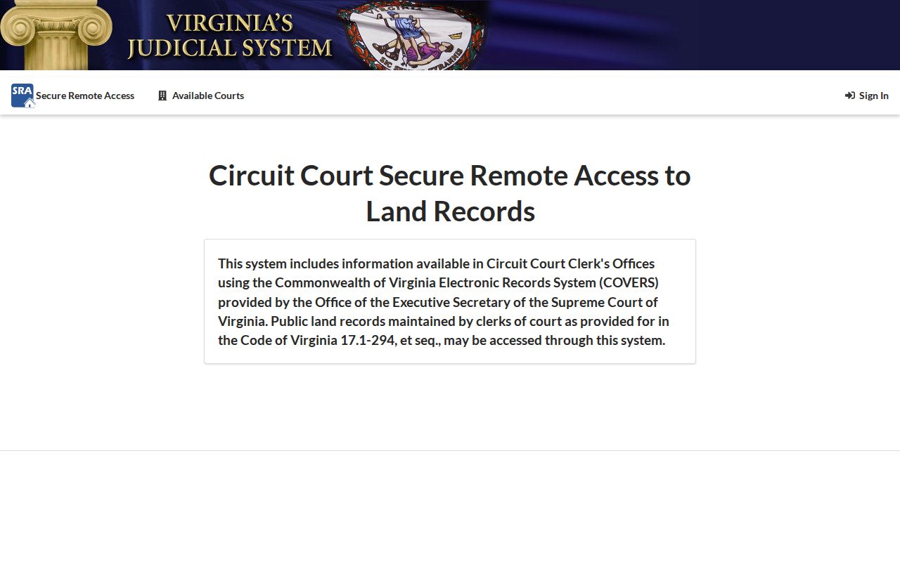
The Virginia Secure Remote Access portal is the source shown below. Its unauthenticated screen does not expose the post-login search fields, so a responsible searcher should not assume a field or image is available until logged in. The Clerk can explain counter access, and the Library of Virginia guide points to older grantor/grantee indexes, deed books, plats, and surveyors' books.
A deed record can connect a parcel's current owner to a seller and legal description, but an instrument type still matters. A deed of trust records financing, and a satisfaction releases a lien; neither alone establishes a move.
Use Cave Spring Voter Address Evidence Carefully
VoterView searches by owner name, address, parcel number, or map click and returns polling-place and elected-official information for a selected property. It is not a public by-name street roster. Virginia Code §24.2-444 permits inspection of specified voter-list fields, including name, residence address, year of birth, gender, and election districts, while excluding such items as Social Security numbers and day and month of birth. Protected voters receive special handling.
The state Voter Information Portal checks an individual's registration status, while requests for persons-who-voted lists have separate permitted-purpose restrictions under §24.2-406. Neither source reveals a ballot choice. Treat a voter record as dated, limited evidence, not a substitute for a current street directory.
Cave Spring Street History Clues
For an older address, the useful shelf is the Roanoke, Salem, and Vinton directory environment rather than a confirmed standalone Cave Spring run. A reverse section can turn a printed address into a historical householder clue, but it may omit unincorporated locations or use a different post-office label. The Cave Spring city directory collection notes identify the relevant library and archive routes without turning a modern street search into a full historical-shelf project.
Use the current parcel, subdivision name, plat, adjoining owners, and legal description to bridge an old route or street spelling. Roanoke City became independent in 1968, so a historical Roanoke label needs a jurisdiction check before it is assigned to a present county parcel.
Limits of a Cave Spring Street Directory
No address search proves every current resident. County assessment data does not generally list renters or all household members. Utility customer information and DMV addresses are not public general lookup fields, and an ACP participant's physical address is protected. GIS zoning, flood, school, and district layers add geographic context, not a resident roll. A property owner, a directory householder, a registered voter, and a current resident can be different people.
If an address-related record is missing, the county's Virginia Freedom of Information Act process is a way to request existing county records that are not confidential. It does not override voter, DMV, vital-record, sealed-file, or ACP protections. For a possible deed-fraud notice, the Clerk's March 2026 VADeed Alert can notify a subscriber when a name or parcel number appears in a newly recorded document, but it does not prevent recording or validate an instrument.
Lawful use. Cave Spring street records can support personal research, family history, property questions, and civic curiosity. Do not use an address trail to watch, harass, intimidate, or expose anyone, especially a protected person.